 A new network of industrial weather stations will advance the Rideau Valley Conservation Authority’s capacity to track local weather, model future floods and track local climate change impacts into the future.
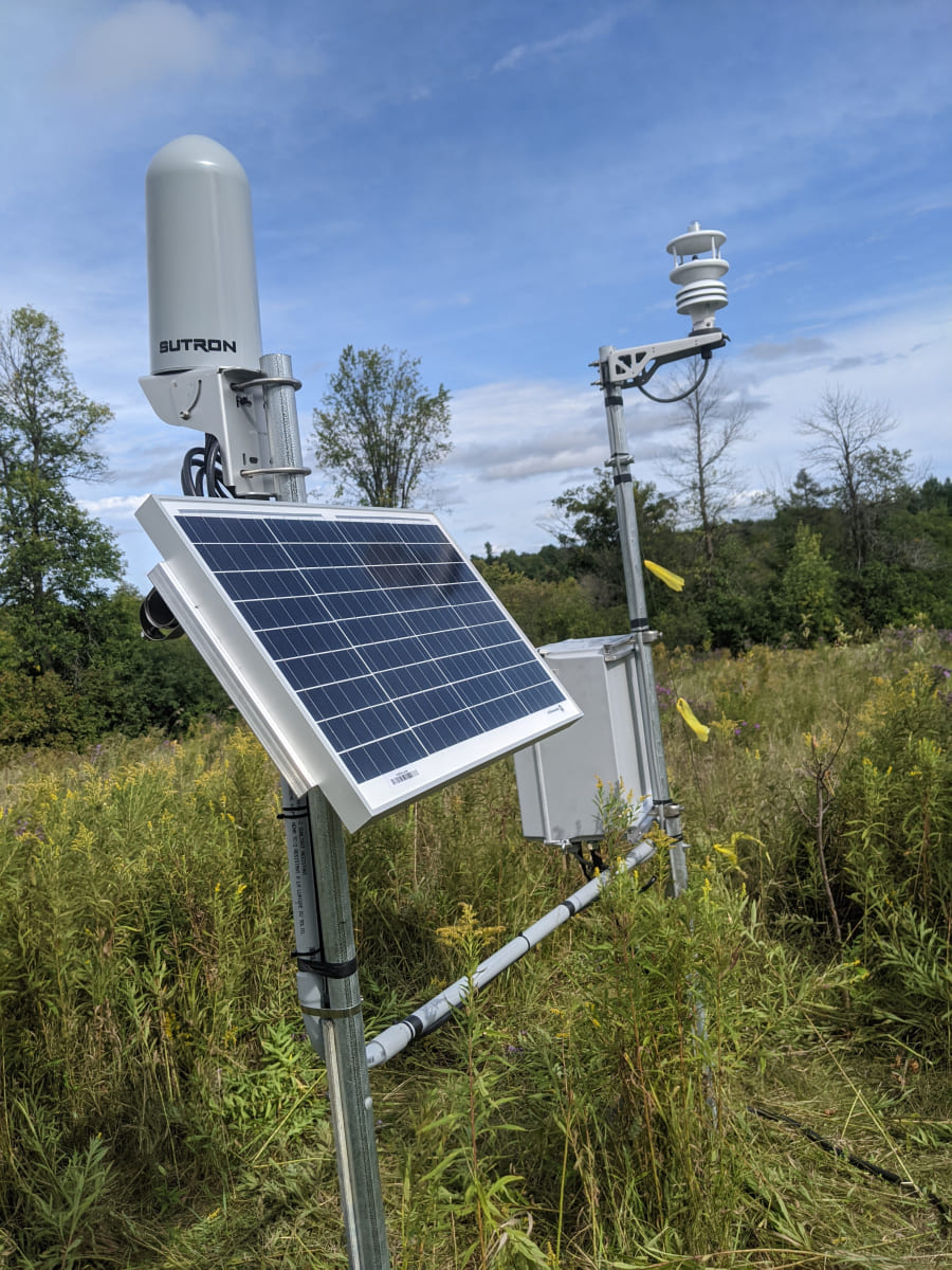
The RVCA has installed 11 new all-season weather stations across the watershed. These will fill gaps in the current data network, expand RVCA’s list of tracked weather parameters and provide real-time weather data online for use by residents, municipalities, farmers, researchers and even local forecasters.
“Our goal is to develop a watershed-wide model so we understand what’s happening in each part of the watershed,” said Brian Stratton, RVCA’s manager of engineering. “The new weather stations are a key piece in the development of a long-term model that can be used for hazard mapping, flood forecasting and tracking climate change trends.”
The industrial-strength stations – designed to withstand our coldest winters and hottest summers – will collect information on air temperature, dew point, relative humidity, air pressure, solar radiation, average wind speed and precipitation. The data is available through a new public portal on www.rvca.ca/weather-stations.
The addition of these stations will also improve Environment Canada’s ability to provide accurate weather forecasting for the region, as data from RVCA’s new stations will help corroborate what Environment Canada’s radar is predicting.
“It’s a nice relationship,” said RVCA’s hydrometric co-ordinator Justin Robert. “We’ve programmed these stations for our own purposes, but everyone in the watershed will benefit.”
Climate researchers will also rejoice – in 30 years, anyway.
“By recording the real time climate, it’s going to set us up for some extensive knowledge down the road,” Robert said. “These weather stations are going to give us this footprint of our weather into our future, and it will be invaluable information to really understand our watershed and what’s going on.”
To learn more about the RVCA's Flood Forecasting and Warning program, visit www.rvca.ca/watershed-conditions.
New weather stations are located in: Andrewsville, Bobs Lake, Frankville, Kars, Mansfield, Marlborough, Montague, Motts Mills, Rainbow Lake, Snowdons Corners and Westport. For more information contact This email address is being protected from spambots. You need JavaScript enabled to view it..